Skip to content
OUR HISTORY

Celebrating a legacy of innovation and industry firsts, from developing bespoke medical kits to founding the first global response center for aviation. We're committed to pioneering solutions and delivering excellence for every journey.

2025Website_Header_OperationalSecurity

Aviation Risk Intelligence

Aviation security intelligence to support decision-making

Enhance Operational Security with MedAire’s Aviation Intelligence

MedAire’s aviation security intelligence helps airlines assess airspace, airport, route, and destination risks before and during operations.

The service combines verified intelligence, real-time alerts, map-based threat visualization, and 24/7 support from aviation security specialists to help operators make informed decisions during routine planning, disruption, conflict and security incidents.


How does MedAire's security solution support aviation operators?

AI-Driven Intelligence, Human Validation

AI scans 1.3 billion data points for disruptive events, validated by regional analysts monitoring in local languages across four continents.

Aviation-Specific Alerts

Over 15,000 security and 500 aviation alerts issued yearly across four severity levels, with specific risk mitigation recommendations.

Verified Regional Intelligence

60% of alerts sourced from non-English languages, validated through on-the-ground networks and ISO-accredited quality assurance processes.

24/7 Expert Support

Direct access to aviation security specialists for real-time advice, itinerary-specific intelligence, and unlimited consultation on emerging threats.

360-Degree Risk Analysis

Single map view integrating airspace risk by altitude, airport ratings for 200+ locations, fleet tracking, and route visualization.

Exportable Operational Intelligence 

Export all portal information to PDF for crew distribution, with optional integration to flight planning software for seamless workflows.

Aviation risk intelligence, mapped to your operation

What aviation intelligence does MedAire's Portal provide?

MedAire_Portal_FIRS

Flight Information Region (FIRS) & Airspace

 
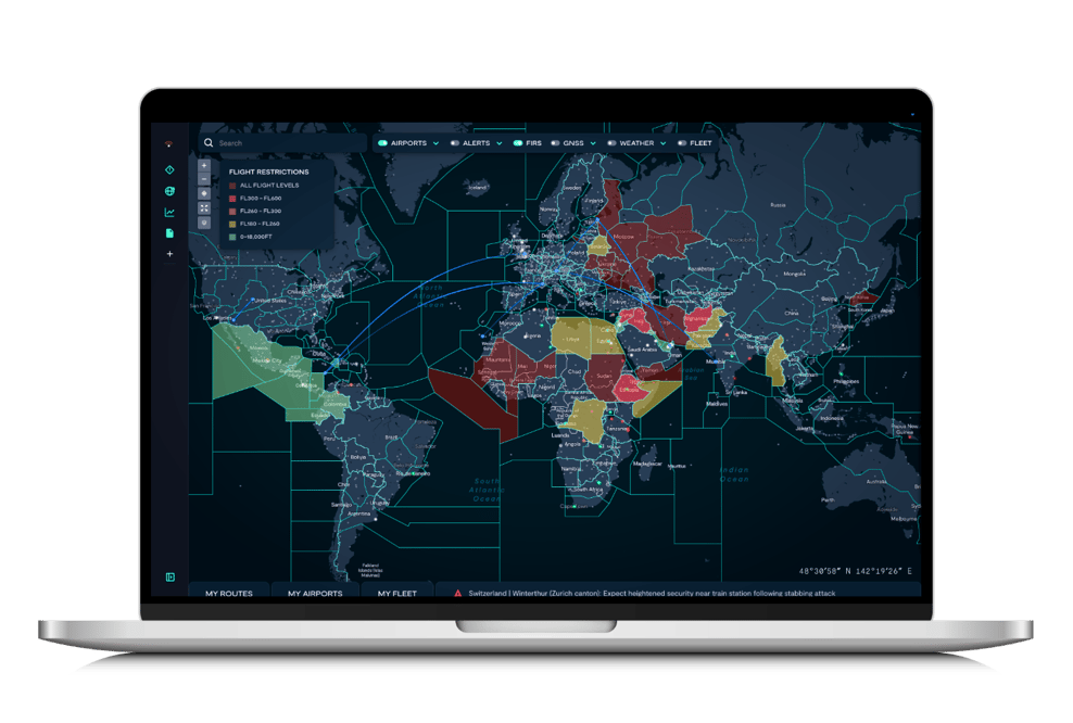
Visualize airspace risk by flight information regions with risk ratings by altitude and weapon availability, enabling clear assessment of overflight threats.
 
Access flight restrictions or warnings issued by major civil aviation bodies through a simple click, with all information exportable to create an Airspace Assessment.

MedAire_Portal_FlightTracking

Fleet

Tracker

 
Track your assets in real time by entering aircraft registration numbers directly within the portal using a FlightAware feed, with no limit on the number of aircraft.
 
View aircraft with active ADS-B transponders within receiver range, with options for masked tail numbers when initiated by the owner or managing entity.

MedAire_Portal_AirportRisk

Airport Risk

Rating

 
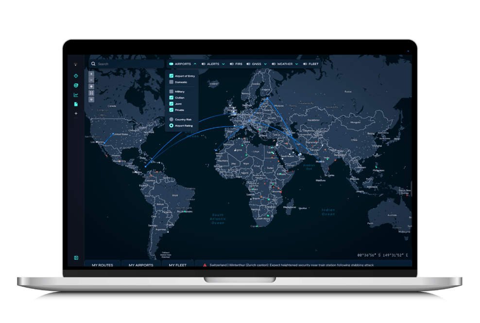
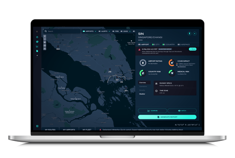
Assess airport operating environments on a five-point scale, evaluating the ability to securely handle aircraft, remain unattended, and safely operate to the location.
 
Security teams use open and proprietary sources to identify suitability for overnight operations, crew lodging and transportation availability, and mitigation services in constrained environments.

MedAire_Portal_RouteView

 Route

Visualization


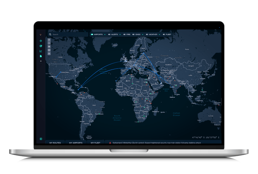
Upload flight plans or manually enter routes for visualization against multiple risk factors, identifying potential areas of concern along your route of flight and destination.
 
Integrate directly with flight planning software for seamless importing, with the ability to save multiple routes for future assessment and viewing.

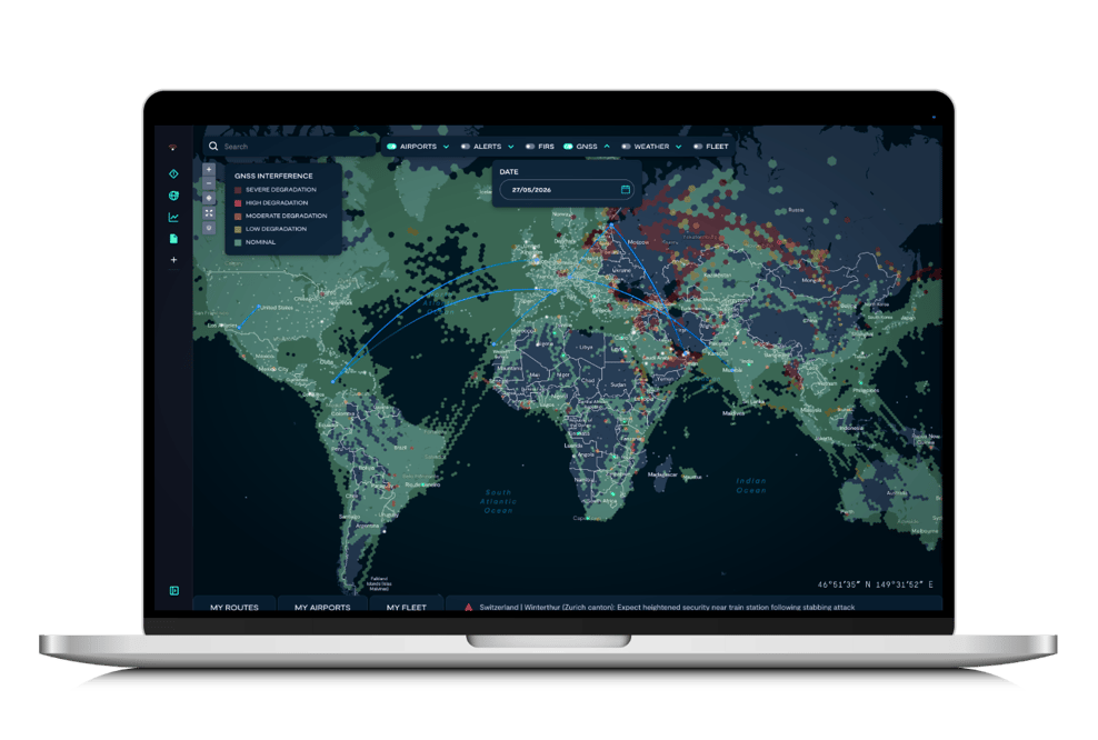
MedAire_Portal_GNSS

GNSS Quality Visualization

 
 Identify potential navigation interference risks using satellite-collected data from aircraft navigation systems and ADS-B, with global coverage extending to oceanic and remote regions.

Updated daily with 24-hour aggregated views, enabling proactive route planning and mitigation strategies for areas where GNSS quality may affect flight operations.

Untitled - May 28, 2026 at 13.57.06 (1)


Weather

Overlay

 
Display weather context directly on the portal map to prompt investigation of aviation weather services and correlate weather patterns with security alerts and incidents.
 
Adds operational context to route and location assessment, helping operators recognize conditions that warrant consultation with certified aviation weather providers.

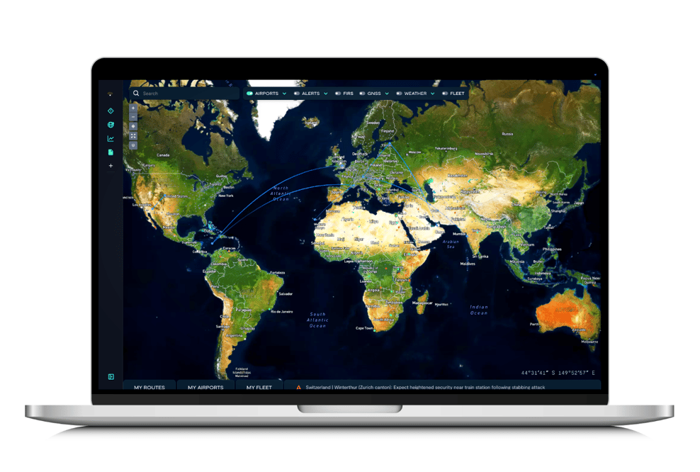
MedAire_Portal_SatelliteView


Enhanced Base Map Layers

 
Select from multiple base map styles including high-quality satellite imagery to improve location verification and visual matching of ground features to issued alerts.
 
Commercial-grade cartography with intuitive layer controls supports alert location matching, airport surroundings identification, and verification of infrastructure near reported incidents.

 SUPPORTING AIRLINE SAFETY CULTURE

MedAire's Operational Security Works hand-in-hand with Crew Support. While our digital tools enable you to mitigate risk, Crew Support provides Assistance within evolving security situations that could affect crewmember safety, such as conflict, civil unrest or natural disasters. 

One integrated solution, focused on keeping your crew safe

 SUPPORTING BUSINESS AVIATION SAFETY CULTURE

MedAire360 brings security, medical, and travel risk intelligence into one integrated solution. The platform enables proactive risk management through a single portal, supported by 24/7 expert assistance for evolving situations such as conflict, civil unrest, or natural disasters.

One integrated solution, focused on keeping your crew safe.